Urban Heat Mapping Workshop

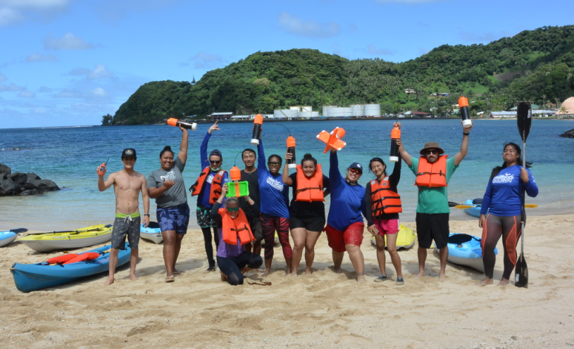
Following the success of the drifters workshop in American Samoa we have been asked, “How can I do something like that for my organization? We don’t have an ocean, or We only have one day?”
The focus of the drifters workshop is simply to get participants to ask a research question, get outside to collect environmental data, put that data into a GIS, and answer the research question. Our next workshop will be using simple air temperature measurements to map “Urban Heat Islands”. Students collect air temperature measurements with corresponding GPS points and they can map how temperature changes around built and natural surfaces. This can be done over an area as small as their school campus, or over a whole city or town. This project can tie in learning opportunities about the surface energy balance, public health related to heat stress, and climate change.
The Science Museum of Richmond, VA, has provided an excellent example of how to do this kind of workshop: https://toolkit.climate.gov/case-studies/where-do-we-need-shade-mapping-urban-heat-islands-richmond-virginia
The Malosi Foundation is currently searching for funding to host this workshop.
